UN Call to Retire the Mercator Map: What the Equal Earth Projection Changes

On Friday, September 4th, the UN voted an incredible 164 to 1 to retire the map we grew up with, with the only dissenting vote coming from the United States. The cartography of our Earth has always been a highly relevant topic for scholars, scientists, and even teachers eager to introduce the geography of our planet.
What many don't yet realise is that maps, beyond living as cultural heritage, are also visual tools that help us understand how the Earth works and how it really is. Thanks to a multitude of studies, we can now comprehend distances, boundaries, and the separation between lands and oceans, lakes, and rivers.
Furthermore, maps represent works of art for anyone who has ever traced a line with a finger on it, or who simply loves its texture and all its characteristics. Globemakers certainly fall into this category, as do the most avid travellers or curious people.
It’s precisely for this that, when the UN voted to retire one of the most familiar world maps in history, named Mercator, people started wondering why.

The reason is very simple, and it has to do primarily with showing us what our planet really looks like, since the Mercator actually distorts our planet, making the continents smaller or larger depending on which one we look at.
The UN General Assembly adopted Resolution A/80/L.104 with 164 votes in favour, six abstentions, and one vote against from the United States. These votes encourage schools, media, and governments around the world to respect the planet we are part of, along with its cartography, which should be presented to us as detailed and precise as possible.
This is a battle to represent a sphere on a flat surface, and decide which distortions to accept and which to ultimately abandon; the solution to every problem here would be the Equal Earth Map.
The Mercator Projection: A Map with a Purpose
The map we all know today is called the Mercator projection, a name borrowed from the astronomer and cartographer Gerhard Kremer, latinized Gerardus Mercator. This was initially invented as a navigational tool, although it later became what we might call a 2D representation of our world.
Over the centuries, dozens of Earth projection systems have been proposed, where geographic points didn’t correspond to the same ones on the planet, violating the principle of isogonism. Gerardus, therefore, examining the various existing projections, chose to start with the centrographic projection, as it offered several advantages.
However, he failed to take into account its major flaw: while the distance scale makes the map conformal, the Mercator one increasingly distorts the size and shape of extended objects as one moves from the equator to the poles, at which point the map scale increases to infinite values.
For sailors, it was a true revolution, but for everyone else, the continents expanded dramatically. Greenland, for instance, appears as large as Africa, when in reality it’s much smaller.

The truth is that South America is larger than Europe, and Canada is not that gigantic. These are just some of the most significant distortions, but it's worthwhile to educate ourselves and understand the rest in greater depth.
For centuries, this distortion was tolerated because the map served its purpose. But it wasn't anticipated that it would find its way into classrooms, newspapers, and even government documents. We’ve grown up under the illusion of perfect continental shapes, and this has shaped our mistaken perception of our own planet.
From a cartographic perspective, the Mercator Map strikes a balance between accuracy and navigational utility, but on the other hand, it is not a useful object for everyone else, and it’s not fair.
The Equal Earth Map for a New Era
Now we have to ask ourselves: how did the new Equal Earth Map come about?
In 2018, the three cartographers Bojan Šavrič, Tom Patterson, and Bernhard Jenny, introduced this new projection with the goal of creating a map that preserved the areas as they actually are. They also attempted to keep it visually pleasing and familiar, converting it into an equal-area map.
Equal Earth is not the first equal-area projection, but it’s undoubtedly one of the most refined thanks to its recognisable shapes, ensuring that each region is respected in its actual dimensions.
And so, Africa becomes the giant it truly is, a spectacle of land both incredible and believable when we consider all its countries and the diverse cultures within it.

South America is no exception, and Greenland is finally reduced to its true features. Russia, China and every other area are more precise too. The map, therefore, although strange at first glance, appears more balanced, concrete, and above all, realistic.
For globemakers, this is an innovative solution. An alternative map that takes into account the planet's proportions while maintaining harmony. It’s certainly not perfect, but it is the fruit of careful research and precise planning, as far as it can go.
The UN doesn’t demand its use, but strongly recommends it as a replacement for the Mercator Map in public and educational settings, precisely to adequately educate both new and older generations.
The Vote: 164 to 1
Although the three cartographers had been creating the map for several years, it was submitted by Togo on behalf of the African Union because they themselves had felt its importance for years.
They argued that the Mercator projection didn’t accurately represent the true size of equatorial nations, especially Africa, and this distortion had long-term cultural consequences.
The story told by the Mercator Map didn’t equate to reality, and it was time to change the rules of the game. Obviously, for such a crucial issue, most nations agreed, and the resolution was successfully passed, despite a few countries abstaining and voting against.

Those who withheld included Ukraine, Georgia, Estonia, Moldova, Lithuania, and Serbia; their abstentions, however, weren’t due to opposition to the resolution, but to procedural caution.
For the United States, however, it was a different story. In its official explanation, its representative argued that the UN should focus on "real issues of peace, prosperity, and good international relations" rather than "16th-century cartographic projections and their role in promoting reparations and cognitive justice".
The United States calls the resolution an ideological distraction, emphasising how they failed to carefully consider their vote in symbolic and geopolitical terms. After all, the world is reconsidering the map we grew up with.
Why This Matters for Cartographers and Globemakers
For cartographers, globemakers, artists, and even simple enthusiasts, the heart of this issue lies in art itself. Changing a map of the world isn't like changing the colour of a pen or notebook.
It's a transformation of our perception, a change in a habit that seemed right, but turned out to be the opposite. It might seem foolish, but the impact the old map has had on schools, atlases, digital interfaces, and conference rooms has been tremendous.
The Mercator Map has dominated cartography for so long, almost five centuries, and now is the time to abandon what wasn't its own. Now everything will change, and future generations will be proud of our best judgment.
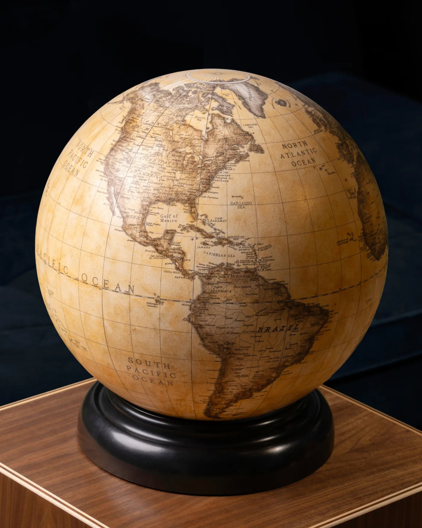
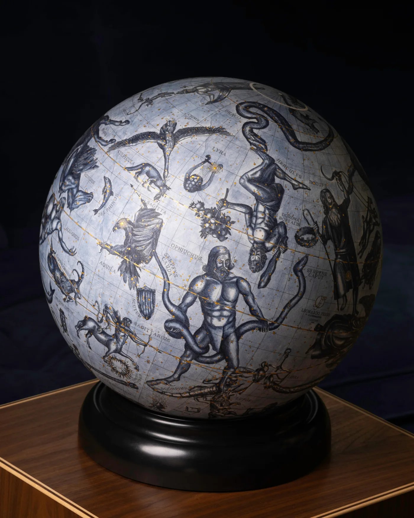
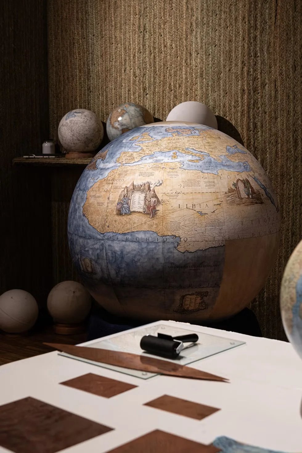
Maps can be chosen, and the choice made by the UN together represents a turning point for artists too. Cartographers and globemakers will now be able to make new decisions about how to cut, stretch, and fold the earth on a flat surface, then place it into the beautiful 3D sphere that is the globe.

We'll explore new shapes, cuts, and new ways to translate the sphere into a flat plane. This is a rare opportunity to rethink how continents visually relate to each other, and how to display them to interested people.
To flatten a sphere, you have to cut it. As briefly mentioned, the Mercator projection cuts vertically, stretching the poles to infinity, while the Equal Earth projection cuts more delicately, distributing the distortion evenly across the map.
Today we also learn that different projections cut differently: the Mercator projection stretches in a north-south direction, while Equal Earth curves the continents, giving them a natural, fluid shape.
There are many others, such as the Gall-Peters map, which compresses shapes but preserves their area, or the Robinson projection, which smooths the edges for aesthetic balance. Meanwhile, the AuthaGraph one folds the world into a nearly perfect rectangle.
What Comes Next
The map we grew up with told one story; the next will tell another. Both are interpretations, but we've finally reached the truth: the Equal Earth Map offers a reality that more closely aligns with the geography of our planet.
While the UN resolution is non-binding, so as not to force any country to change its maps, the organisation urges reflection on the geographic, political, and artistic impact this conclusion will have.

It's highly likely that over time the Mercator projection will disappear from public spaces entirely, replaced by maps, if not the Equal Earth projection, others, that show the world with more accurate proportions.
For artisans, this is a time to experiment and embrace new innovations and new ways to visualise our beloved Earth; for globemakers, it's a unique opportunity to create globes and maps that reflect a more balanced world.
For others, it’s a reminder that maps are objects that evolve as they respond to culture, science, and craftsmanship.
Related Topics
Today we learned how maps can change over time. If you're interested in learning more about the history of the Mercator Map, read here!