Lake Ontario: The Story Behind a Timeless Name
Even before maps were invented or humans could walk the Earth, nature had developed the smallest of North America's Great Lakes: Lake Ontario.
Far older than us and bordered by the Canadian province of Ontario and the U.S. state of New York, this body of water has always lived in a home shaped by ice. Its history begins during the last Ice Age, with a tremendous amount of geological activity, and glaciers often longer than two kilometres, covering much of North America.
Their constant movements, advancing and retreating over thousands of years, sculpted the underlying land with a slow and inexorable force, carving deep basins in the rock and crushing the stone itself into fine sediments, resulting in the creation of entire new regions.
Lake Ontario was among the last to recede, and its original appearance was certainly not what we see today.
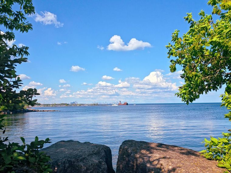
When the climate finally began to warm after a long period of time, massive quantities of water filled the vacated basins, so its shape changed repeatedly due to the shifting of ice dams, the rise and fall of meltwater levels, and the uplift of the land under the crushing weight of glaciers.
Its history is so extensive and eventful that there was a time when Lake Ontario was part of a much larger glacial lake system, connected to other basins that no longer exist, and its waters flowed through different routes depending on where the ice persisted.
It took centuries for the land to stabilise and achieve its current shape. The lake's glacial origins continue to influence its behaviour, ecology, and appearance. Today, its depth reaches approximately 244 meters, and due to atmospheric factors, its basin is one of the deepest, despite its surface area being the smallest of the other four Great Lakes.
Its cold waters and steep underwater slopes still recall its glacial chronology, but unfortunately today it rarely freezes completely, due to its depth, which stores cold and movement in ways that prevent complete ice cover.
Ontario's Indigenous Origin
After centuries of being embraced by solitary nature, Lake Ontario encountered human touch for the first time. This, however, doesn’t refer to currently known borders and provinces, but to the first indigenous peoples who lived along its shores.
Its name derives from the Wendat word “Ontarí'io”, which is often translated as "Great Lake." Some interpretations also refer to the meanings of "Beautiful Water" or "Lake of Sparkling Waters."
The Wendat people (also known as Huron) speak Iroquoian and are part of the Wendat Confederacy in present-day southern Ontario. Originally composed of several nations, they were one of the major indigenous powers in the Great Lakes region.
To this day, two significant groups of the Wendat population survived: one moved to Quebec, while the other joined the Tionontati Confederacy. In the early 17th century, they began calling themselves "Wendat," meaning either "Dwellers of the Peninsula" or "Islanders."
These translations refer not only to the lake's massive presence, but also to the cultural connection that those communities had with it, making it something more important.
For the Haudenosaunee and other Indigenous nations, the lake was necessary due to its presence as a source of food, transportation routes, and seasonal resources. Its waters connected communities, and its shores hosted villages, hunting grounds, and meeting places.
The name "Ontario" encompasses centuries of meaning, shaped by humans who lived in close contact with nature long before it appeared on European maps. It's no coincidence that the homonymous province took its name; it recalls its linguistic and cultural heritage, along with its formation through a relationship with land and water that dates back millennia.
Lake Ontario on Historical Maps
Given its long indigenous history, Lake Ontario was designated several times by different names, especially on the maps of European cartographers and explorers.
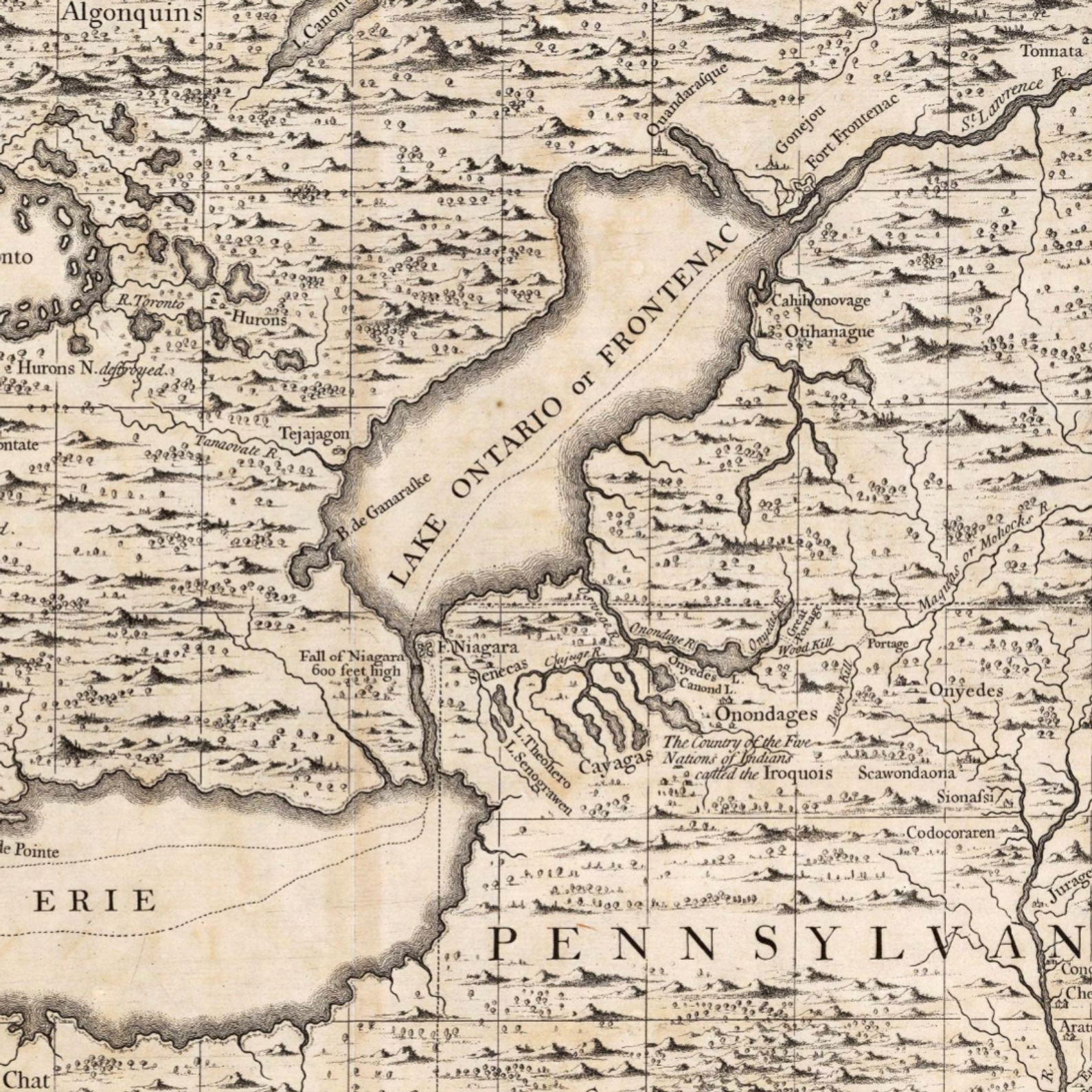
The terms were so varied that early French maps sometimes called it "Lac de Saint-Louis" (Lake St. Louis), a name in use in the 17th century, though it had nothing to do with its origins. Other maps named it "Lac Frontenac", in honour of Louis de Buade, Count of Frontenac, governor of New France.
This actually happened because Europe repeatedly attempted to impose familiar references on landscapes they were still learning to understand. Giving a different name was a way of orienting oneself in an unknown territory, while also trying to claim it.
Fortunately, as geographical knowledge progressed, cartographers gradually adopted the indigenous name. Between the late 17th and early 18th centuries, the lake increasingly appeared as "Lac Ontario" on French maps and "Lake Ontario" on English ones.
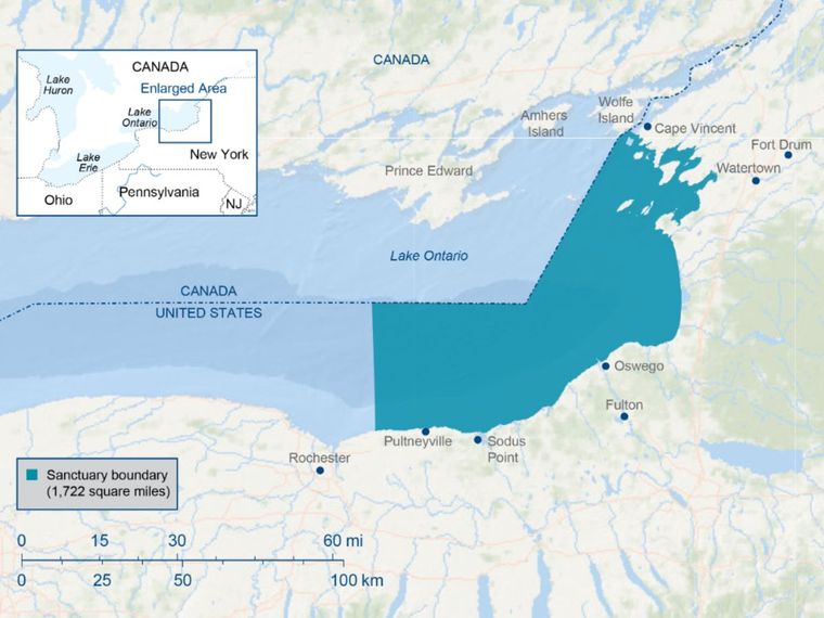
Indigenous knowledge was now relied upon much more to orient and describe the region, evolving from early exploratory sketches to more accurate representations.
For cartography and globe-making enthusiasts, the case of Lake Ontario is certainly not to be overlooked. The various titles bestowed upon it over time were represented in historical documents, which we can identify as cultural artefacts created by people who pioneered new perspectives.
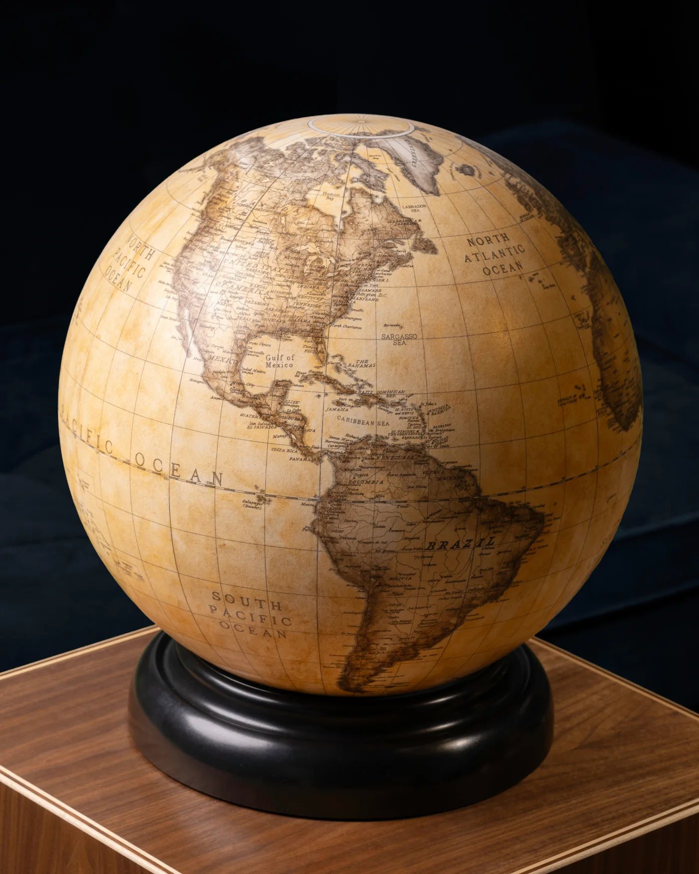
Its name often appears elegantly printed on ancient globes, a vintage calligraphy whose presence alone indicated the massive importance of the body of water.
A Historic Route for People and Ships
As already mentioned, Ontario has always served as a gateway to distant communities, starting with indigenous ones. Distant waterways connected it to Lake Erie via the Niagara River, or to the St. Lawrence River, which carried travellers eastward toward the ocean. For centuries, its waters carried canoes, trade goods, and, most importantly, stories, predating the arrival of other crowds by millennia.
When Europeans reached the region, the lake became even more used as a means of exploration and trade. Furs, timber, supplies, and an ever-increasing number of people were now transported.
Forts and settlements arose along its shores, each dependent on the lake for transportation and communications. The lake's strategic location made it a crucial bridge between the interior and the Atlantic world, connecting remote regions to global trade networks.
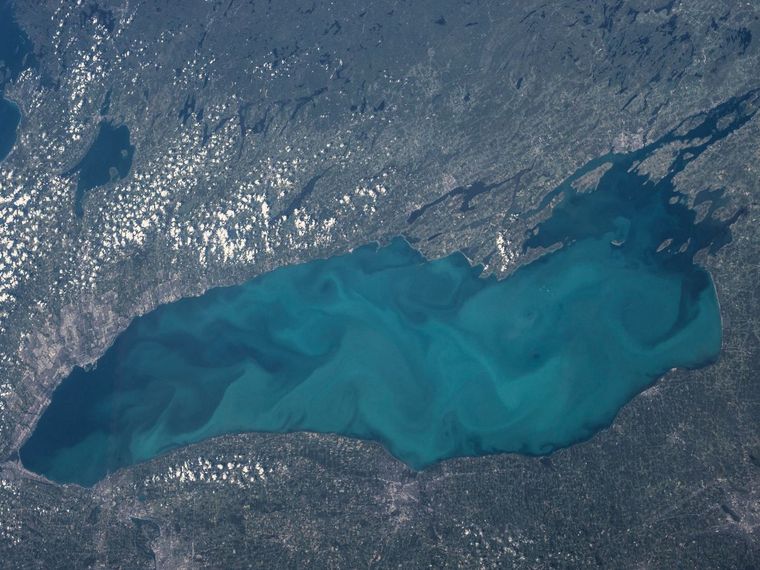
In the 19th century, canals began to be built to connect the Great Lakes to the Hudson River, opening new trade routes to New York. The Welland Canal allowed ships to bypass Niagara Falls, creating a continuous waterway between Lake Ontario and Lake Erie.
Today, Lake Ontario serves as a gateway for steamships, schooners, and merchant vessels. Ports such as Kingston, Toronto, Rochester, and Oswego, thriving as centres of commerce and industry, have taken advantage of its size and stable waters.
But it's not just an important navigation route; it's also used for recreational and tourism activities. Its waters continue to connect communities, just as they have for thousands of years, carrying with them the echoes of ancient canoe routes and the hum of modern vessels.
Fun Facts and Legends
Although Lake Ontario is the smallest of the Great Lakes by surface area, it ironically possesses even more extensive features. We've already mentioned that it’s way deeper than its siblings, but did you know that it’s also one of the coldest of the Great Lakes?
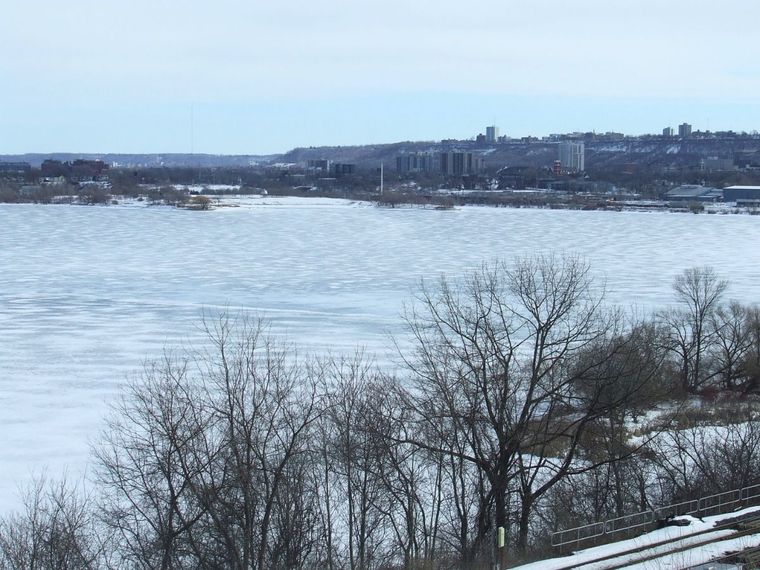
Its icy past always comes back to haunt us, and thanks to this characteristic and the constant movement of the water, we can observe how it rarely freezes completely. Even during the harshest winters, only shallow bays and coastal areas develop a thick layer of ice, making it unique among the lakes in the entire region.
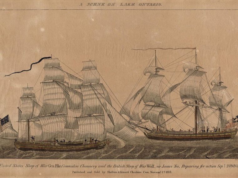
Its waters are also home to numerous historic shipwrecks. This phenomenon occurred due to past storms that created nautical difficulties for those navigating the heavy maritime traffic, leaving behind an underwater archaeology that would be the envy of anyone.
Some wrecks are also remarkably well preserved thanks to the action of the simultaneously cold and fresh water. Divers and researchers, meanwhile, continue to discover new sites, each contributing to the rich history of the lake and its people. Even small merchant ships and large steamships have been found, each with its own tale of storms or misfortune.
The beautiful lake, with its bluish hues, has also inspired numerous legends. Among many, the most curious is the one that narrates of a mythical creature lurking in its waters, sometimes described as a snake or an unidentified aquatic animal.
This is reminiscent of the Lockness Monster, which, although there is no scientific proof of its existence, stories surrounding it persist in local folklore, adding a touch of mystery to the natural landscape. These legends certainly reflect the human tendency to imagine wonders beneath the sea depths, especially in places shaped by ancient forces.
Its ecosystem is equally fascinating. Its waters are home to diverse fish species and serve as a vital stopover for migratory birds; the coastline, with its wetlands, cliffs, and sandy beaches, contributes to a dynamic environment for the pristine nature that dominates.
A Story Still in Motion
The history of Lake Ontario encompasses millennia of ice, human movement, language, maps, and legends. Its name, transcribed on elegant and ancient globes, preserves the memory of the indigenous peoples who first understood its purpose, shaping its historical importance.
Cartographic evolution has also played its part in incorporating it into historical maps, revealing centuries of exploration and years of study and research by the most attentive scholars.
Discovering what the waters of this lake represent means retracing a journey through time, from the Ice Age to modern navigation, from indigenous names to global cartography. It is a lake shaped by nature, whose beauty everyone can see and help preserve.
Related Topics
If you enjoyed Lake Ontario's deep, curious history, learn how early cartographers mapped the world here!